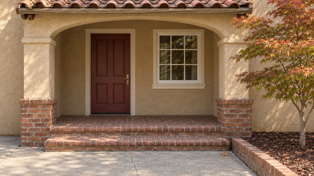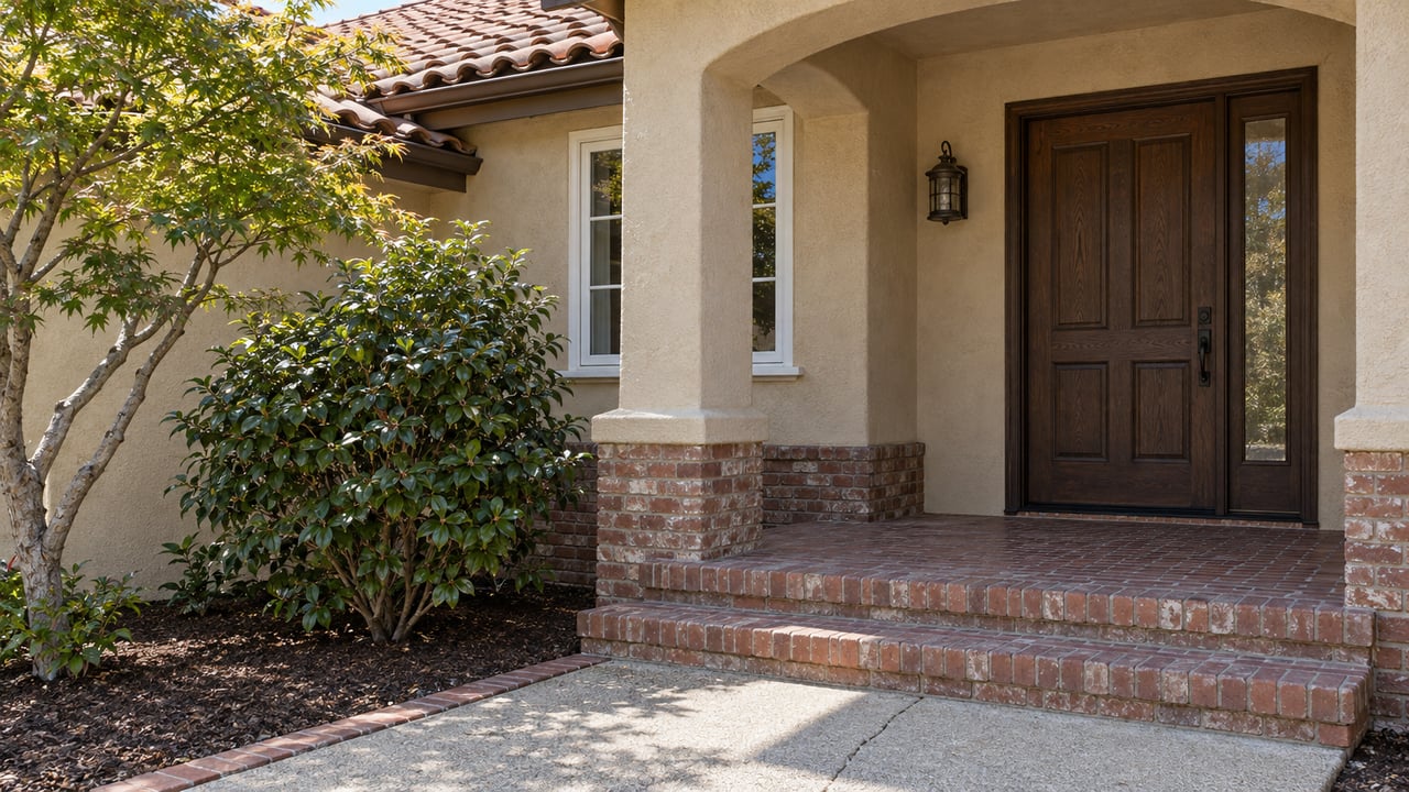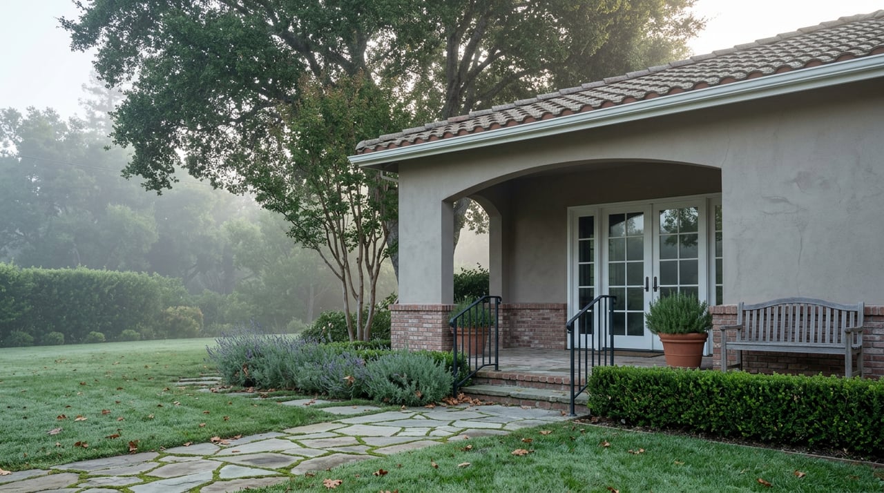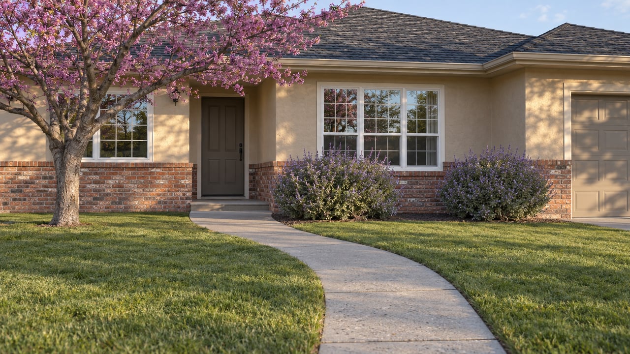
A house on one side of a Pocket cul-de-sac can carry a flood insurance policy. The house across the street, built the same year with the same square footage, might not need one at all. Both show up on the same listing sheet with the same neighborhood name. Only one of them has an annual insurance bill to account for.
That split isn't random, and it isn't about which house is closer to the river in any way you could eyeball from the street. It comes down to which levee segment protects that particular block and when the Army Corps of Engineers and FEMA certified it. In a neighborhood where the median sale price sat at $649,000 as of July 2026, with homes moving in roughly three weeks against a national average closer to eight, that certification history is the detail that separates two otherwise identical purchases.
What $649,000 Actually Buys
The Pocket-Greenhaven median doesn't describe one kind of house. Renovated mid-century ranchers trade around $650,000. Custom-built four-bedroom homes run closer to $900,000. Waterfront properties along the river bend or one of the neighborhood's two lakes push past $1 million. The spread exists because the neighborhood's defining feature, its position inside a bend of the Sacramento River, is also the reason no two blocks carry identical risk profiles.
Proximity to water raises the sale price. It also raises the insurance conversation a buyer needs to have before writing an offer. A $1 million waterfront home and a $650,000 inland rancher aren't just different price points. They can sit in different FEMA designations, which means different insurance costs layered on top of the purchase price.
Checking Flood Zones by Address
Ask a general question about Pocket-Greenhaven's flood zone status and you may find differing descriptions. LowPoint Labs describes much of the Pocket as falling within FEMA's shaded Zone AE, the high-risk designation.
Both can be true at once, because both are describing real parcels. The FEMA Flood Map Service Center works at the address level, not the neighborhood level, and the Pocket's river-on-three-sides geography means a levee breach anywhere along that perimeter would affect the whole peninsula equally. California Flood Insurance notes that a property can still carry a Zone AE designation even after the levee protecting it has been physically improved. The zone map you're handed during escrow reflects a paperwork timeline as much as a physical one.
The Levee That Reached the Pocket Last
This isn't a new problem for the neighborhood. SAFCA's own project history shows that when American River levee improvements, including deep under-seepage cutoff walls and erosion protection along with operational changes at Folsom Dam, brought 100-year flood protection to much of the American River floodplain, the Pocket and Meadowview were explicitly left out of that round. The certification that eventually covered those two communities came later, through a separate set of improvements to the Sacramento River levees and the South Sacramento Streams system.
In plain terms: the Pocket's flood protection status has never been a single blanket decision. It has been assembled piece by piece, project by project, with the neighborhood sometimes waiting behind the rest of the city for its own certification to catch up. That history is why a buyer can't reason from "the Pocket is protected" to "my specific parcel is out of the high-risk zone." The protection arrived on a schedule, and different blocks got there at different times.
What's Under Construction Right Now
That schedule is still running. Erosion construction along the Sacramento River East Levee, the segment that protects much of the Pocket's river-facing perimeter, began in 2022 and is anticipated to be completed in 2026, according to the Central Valley Flood Protection Board. As sections of that project have finished, some Pocket property owners have applied for temporary cross levee fences, a minor-alteration permit category that lets homeowners protect their own property once the adjacent levee work wraps up, subject to periodic review by the board.
A few miles away in the broader South Sacramento streams system, SAFCA proposed improvements in August 2026 to roughly three miles of the Morrison Creek and Beach Lake levees, funded in part by a FEMA grant, with plans to raise sections of the existing levees and add floodwalls. That project sits in the same regional flood-control system as the Pocket's own levees, even though it protects a different stretch of south Sacramento. Taken together, both projects say the same thing: the infrastructure deciding your parcel's flood zone in Pocket-Greenhaven is not a fixed historical fact. It is being actively rebuilt this year, which means the zone map itself is a moving target for anyone buying now and planning to sell in five or ten years.
The Bill That Zone Doesn't Fully Explain
Two homes in Pocket-Greenhaven, one three blocks from the river and one backing directly onto Lake Greenhaven, can carry meaningfully different insurance quotes even when their flood-zone labels match.
That individualized pricing also runs into a coverage ceiling that matters more in a neighborhood with $900,000 custom builds and $1 million-plus waterfront homes. NFIP policies cap building coverage at $250,000, regardless of what the home is actually worth to rebuild. A retired Pocket-based insurance agent named Jeff Beck, quoted in a piece on the region's flood insurance market, described carrying a private policy on his own home that covers full replacement cost, along with additional living expenses and debris removal, for about $800 a year, in a zone where insurance isn't mandatory at all. His logic for keeping it: the absence of a recent flood doesn't tell you much about the presence of risk, any more than an intact house tells you your fire insurance was unnecessary.
There's a related cost line that shows up separately from any insurance bill. According to SAFCA, more than one SAFCA assessment can appear on the same property tax bill. It's a small, recurring cost that a buyer comparing two Pocket homes should ask about specifically, since it won't show up in a standard listing sheet and it isn't the same across every parcel in the neighborhood.
A Few Questions Worth Asking Before You Offer
If a home's flood-zone designation suggests lower risk, does that mean it's low risk? Not necessarily. FEMA's zone designation reflects an annual statistical chance of flooding based on current mapping, not a guarantee about what a levee breach would do to that specific address. Given the Pocket's river-on-three-sides layout, a breach anywhere along the perimeter could affect the whole peninsula regardless of which side of a zone line any individual home sits on.
Can a home's flood zone change after I buy it? Yes, in both directions. As FEMA processes Letters of Map Revision following levee certifications, a parcel's zone can shift. With active construction underway on the Sacramento River East Levee through 2026, this is a live possibility for Pocket-Greenhaven parcels near that segment, not a hypothetical one.
Where do I check a specific address instead of relying on a general description of the neighborhood? FEMA's Flood Map Service Center provides parcel-level lookups, and it's the only way to get an answer specific enough to budget around. A neighborhood-wide answer, no matter how confidently stated, isn't a substitute for pulling the actual parcel.
If you're comparing homes in Pocket-Greenhaven and want the flood zone history pulled for specific addresses before you write an offer, Angela Heinzer has spent 36 years working Sacramento's river-adjacent neighborhoods and can walk through what a given parcel's zone status actually means for your carrying costs.
This article is general information, not legal, tax or financial advice. Consult a qualified professional about your situation.